
Free
Outdoors & Parks
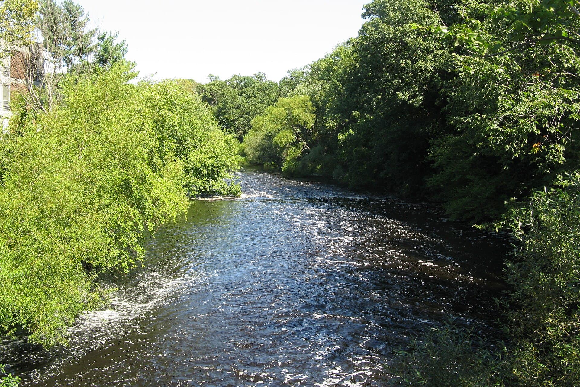
Charles River Path — Lower Falls Riverbank
A short, pretty riverside walk past old mill dams where the Charles drops toward Wellesley.
Newton Lower Falls
4.4(62)A self-guided loop past 19th-century mill housing, a 1811 church, and the old paper works.
Lower Falls is unusually intact for a New England mill village: worker housing, the mill owner’s house, and St. Mary’s church all still stand within a few blocks of the dam that started it all.
Download the self-guided map from the Newton History Museum site, or just wander — the interpretive signs along Concord Street cover the essentials. About forty-five minutes.
Concord Street, Newton Lower Falls, MA 02462
Directions4.2 out of 5 from 33 neighbors.
Been here? Sign in to leave a rating and review.
Sign inNo reviews yet. Be the first to tell your neighbors about it.
A short, pretty riverside walk past old mill dams where the Charles drops toward Wellesley.
Newton Lower Falls
4.4(62)A pedestrian bridge over the Charles connecting Newton to Wellesley — great heron spotting at dusk.
Newton Lower Falls
4.6(47)A small café on the Route 16 corner — good espresso, better scones, six seats.
Newton Lower Falls
4.6(104)